


5 km | 6.2 km-effort

User


FREE GPS app for hiking
 SityTrail
IGN / Geographical institutes
SityTrail World
The world is yours!
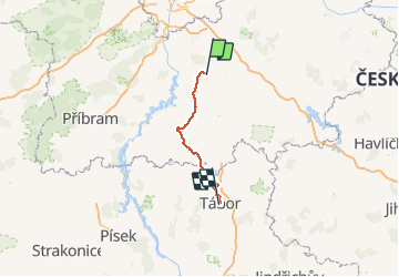
Trail Cycle of 71 km to be discovered at Central Bohemia, Unknown, Týnec nad Sázavou. This trail is proposed by karawatsj.


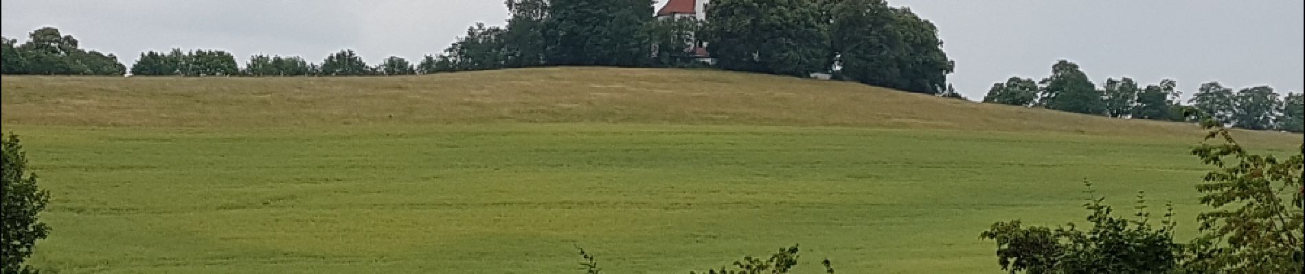
On foot
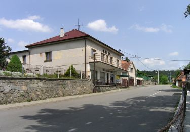
![Trail On foot Krhanice - [Z] Zbořený Kostelec - Halíře - Photo](https://media.geolcdn.com/t/375/260/dabf38dd-af6c-402e-be57-8050debb3552.jpeg&format=jpg&maxdim=2)
On foot